


Saturday 24 May 2014
| Distance (km) | 22 kms | |||
| Distance (time) | 5 hrs | |||
| Climb / Descent | 328m / 336m | |||
| Hard / Soft surface | 55% / 45% | |||
| Landscape |
|
|||
| Weather |
|
|||
|
|
||||
|
Following tradition we leave late from home on Saturday morning and the navigation systems claims we should be at 10:33 at the railway station in Visé. Considering that the train to Maastricht leaves at 10:36 this is going to be tough. But fortunately the motorway is quiet and especially between Antwerp and Liege we can drive a constant 120 km/h so that we gain a few minutes. We park the car in a hurry and sprint to the platform as the train is expected in 5 minutes. We already bought our train tickets online. And of course.....the train had a 10 minutes delay. Typical.
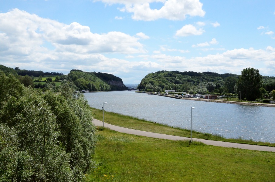
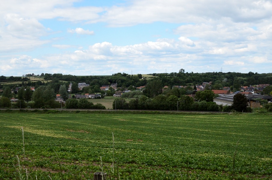
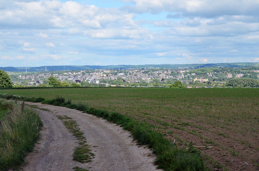
In Maastricht we have sufficient transfer time to city bus 4 and at the market we again have enough time to catch bus 34 to Kanne. It all takes a while, but finally at 12:50 we're in Kanne to start section 2 of the GR4: the Ardennes Section. Just tighten the shoes, do some stretching and off we go. The start is not all that exciting. We cross the Albert canal and pass further through Kanne. Where the sign is to indicate we're leaving Kanne (still amidst houses) we also leave Flandres and enter Walonne. That doesn't hurt or so, but it is kind of a border to cross. For the rest the route is easy to find along Eben-Emael and alternating between hard and soft surface. After passing underneath the N671 main road the first climb of the day appears. The gravel track climbs along Eben-Ezer: a peculiar building with statues of mythical animals on the roof. After that it gently continues to climb until we're above the village of Wonck and we have to turn left in between the fields of cereal. Everything we just climbed we now have to descent again. While entering Wonck we have to turn left again and in fact we are now walking back, but at lower altitude. The track follows the Jeker stream for a while before crossing it before it passes along a gravel roadd to reach the N619 main road. At the other side of the main road a nice and gently climbing track starts that ends on a tarmac road....after which we descent again what we just climbed. To my surprise I see a railroad (it is actually on the map) and I point it out causing a sting of pain between my shoulder-blades. This is wrong and I try to stretch a bit but it remains damn painful. We decide to change: I get the camera and Lupita the day pack. That is somewhat better and the only thing that really hurts is taking a deep breath: it makes me gasp for air more than it gives me air. Anyway, we walk on and climb out of the Jeker valley following a narrow tarmac road. At the top it changes to a dirt track passing through the fields. There is a serious wind blowing over the fields and in spite of being in the sun it's chilly. We almost crossed the flat part when we realise we should have turned left somewhere, but we haven't seen any path to the left! We walk back but we only see cereal and that's it. Strange....maybe we were ok? We walk back in the same direction as before with the wind in our faces and descent to the N618 main road. It is clear now we are to far west. Not a problem, we can cross the N618 here and a bit further on turn left to get back to the GR5. Actually our mistake saved us some climbing: the N618 is considerably less deep in the valley here compared to where the GR5 crosses it. And so we do. Apart from a kamikaze-Belgian in a BMW we walk safely a short distance along the road to Heure-le-Romain before turning to the left to join the GR5 again. The few towards Visé is great when we descent to Haccourt, but then the fun is over. Hard surface streets and up-and-down the sidewalk is just not our hobby. We pass Haccourt to the bridge over the Albert canal just to follow the canal along the quay on the other side. More concrete for our burning soles. We pass the marina of Visé and follow the Maas river to the bridge that will bring us to the railway station of Visé. This only leaves us one thing: we need bus tickets to be able to travel between camping and start and end point the coming days. In Flandres any train station also sells bus tickets of De Lijn (the Flemish bus company) here in Walonne that is not the case: we have to look for a specific book store to buy our tickets. We manage just before closing time. Now we only have to drive to Spa and pitch our tent. Luck for us the camping has a cafeteria because we're really not in the mood for cooking right now. |
   |
|||
|
|
||||
Download track KanVis.gpx